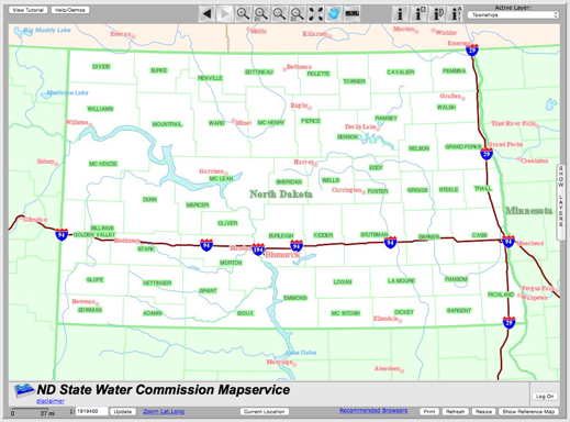
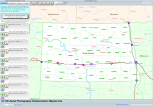
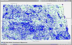
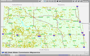
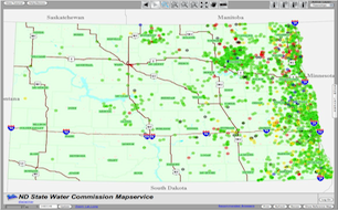
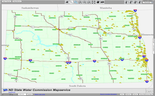
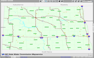
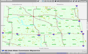
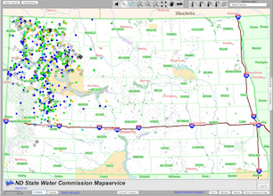
The Department of Water Resources manages a variety of internet map servers with various themes. Our general map service uses the Department of Water Resources' vast data resources such as water data locations, drillers’ logs, aquifers, and precipitation info to integrate with spatial data holdings including aerial photography, geo-political boundaries, transportation, and hydrographic features. Our specialized map services are designed for specific data sets. We also have specialized map services related to the data they are designed to deliver such as the LiDAR map service, survey map service, and an aerial imagery map service.
MapServices
General Water Resource MapService
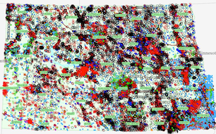
MapServices are the place to find all of the data that have been collected over the last one hundred years or more, integrated with the latest spatial data available for North Dakota. There are water well records, scans of drillers' logs, dams, drains, water chemistry, water levels, etc. These tens of thousands of records have been combined with the latest geographic datasets including color aerial photography, topo maps, roads, public land survey, hydrography, and even live NEXRAD radar feeds.
Survey Resources
The Department of Water Resources is responsible for the preservation and dissemination of official government survey plats (GLOs) and notes for the State of North Dakota. Many of these documents are as old, or older than the state itself, dating back to the late 1800s through the early 1900s. We now provide access to all of the GLO and benchmarks for the state of North Dakota through a specialized MapService.
LiDAR Data Delivery Map Service
The Department of Water Resources, as a member of North Dakota's GIS Technical Committee, has developed specialized map services that are geared towards the dissemination of large datasets, particularly LiDAR elevation data collects. This will make distribution to the general public quite easy and available 24/7. Data can be downloaded by selections of tiles using individual, box graphic, polygon graphic, or by GIS polygon features.
Aerial Imagery Map Service
The Department of Water Resources has collected a tremendous amount of aerial imagery over its history. This specialized map service was developed to make that imagery available for download as needed as well as make it easy to find what imagery is available.
For further information, e-mail the GIS Coordinator or call (701) 328-4998.
Precipitation Information
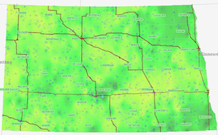
The ARB Cooperative Observer Network (ARBCON) is comprised of nearly 800 volunteer observers across the State of North Dakota. Observers record daily rainfall and hail occurrences at their locations for the months of April through September of each year. ARBCON reports date back to 1977 and are all available to be viewed or downloaded.
North Dakota Risk Assessment MapService (NDRAM)
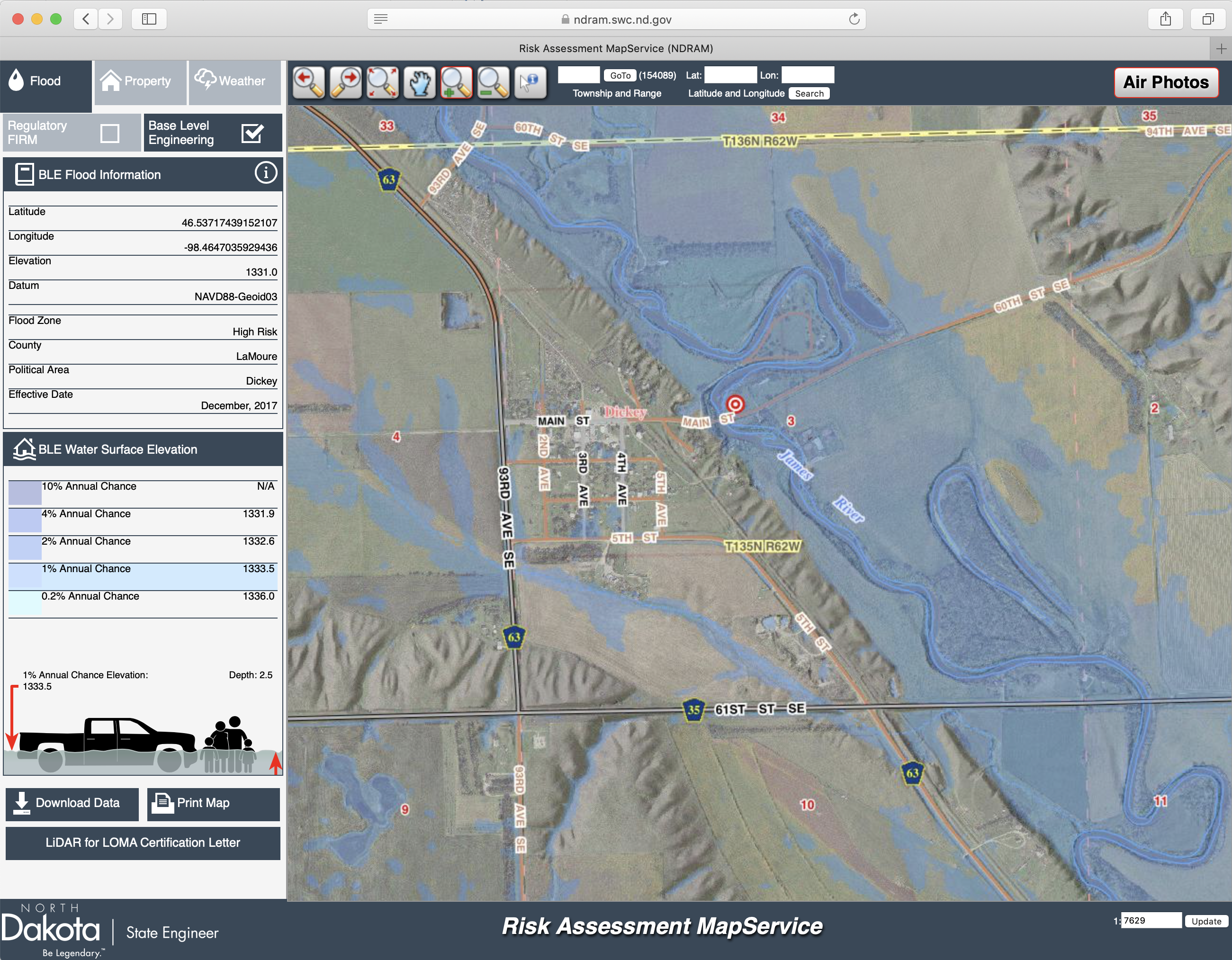
NDRAM allows users to zoom in and visually display current flood risks, both approximate floodplains from BLE and effective regulatory floodplains from FEMA’s NFIP. This new tool also provides users with water surface elevations, flood depths, and the ability to download engineering model data and print customized maps making it useful for planning, mitigation, and disaster recovery actions.

