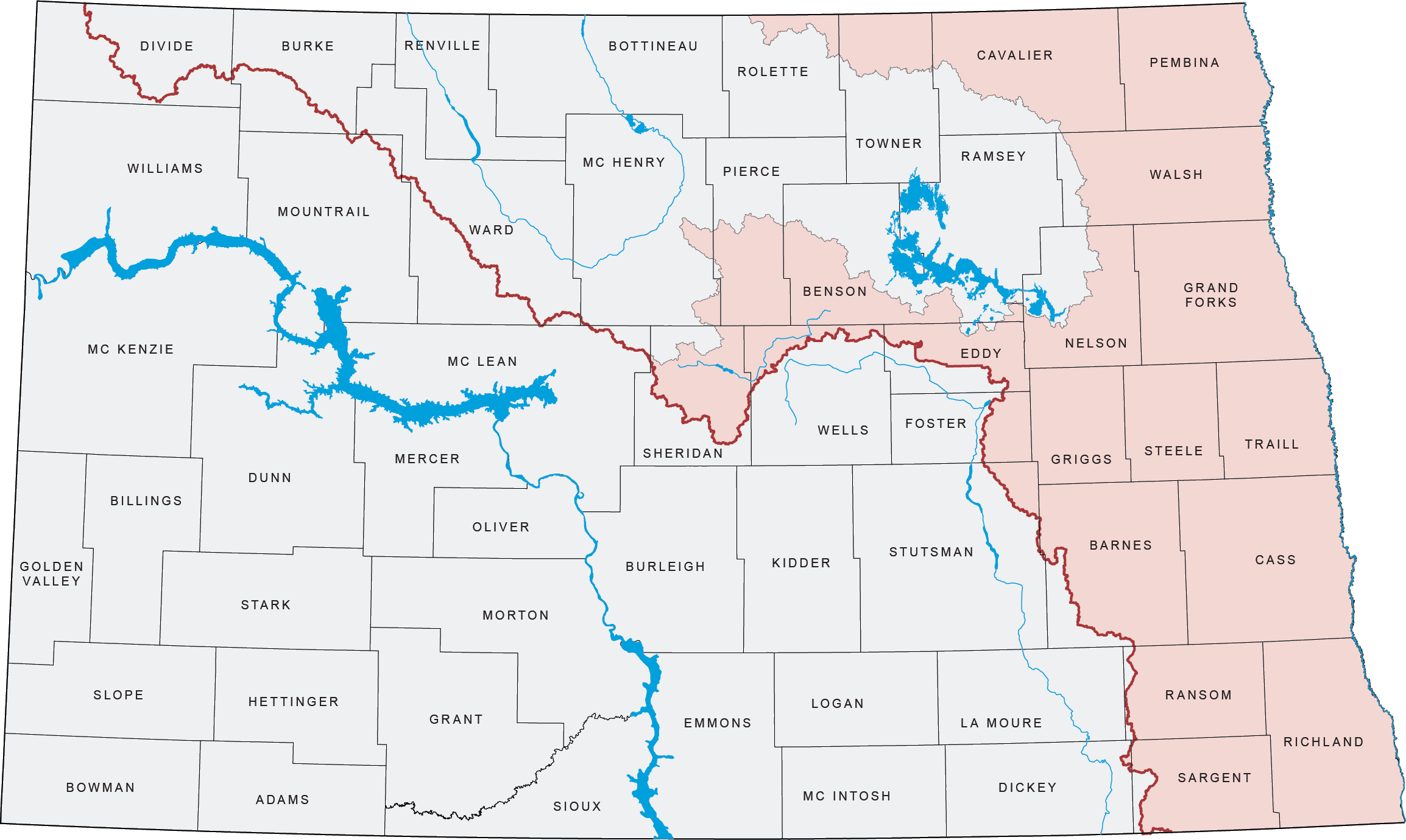
From its origin at the confluence of the Ottertail and Bois de Sioux Rivers at Wahpeton, North Dakota, and Breckenridge, Minnesota, the Red River winds northerly almost 400 river miles, forming the boundary between North Dakota and Minnesota. From the Canadian border, the Red River flows about 155 river miles north to Lake Winnipeg in Manitoba. The valley through which the river flows is actually the bed of glacial Lake Agassiz. The lakebed is very flat and accounts for the meandering course and low gradient of the river.
The headwaters of most of the eight major tributaries in North Dakota begin in the drift prairie in the western part of the basin where valleys are narrow and steep-sided. As the tributaries enter the lowlands of the lakebed, the river slopes become very flat, with poorly defined watershed boundaries. The largest reservoir in the Red River Basin is Lake Ashtabula. This flood control and water supply dam is located on the main channel of the Sheyenne River, and has 200,000 acre-feet of maximum storage. The Red River Basin has 70% of its area devoted to cropland – the highest percentage among the five major basins.
Information
For more information on the Red River Basin, please contact Randy Gjestvang, P.E., Red River Engineer at (701) 390-3578 or e-mail.

